Campus
Photo Story: In Search of the Mt. Monadnock Summit
By Yasmin Gentry Oct 29th, 2012
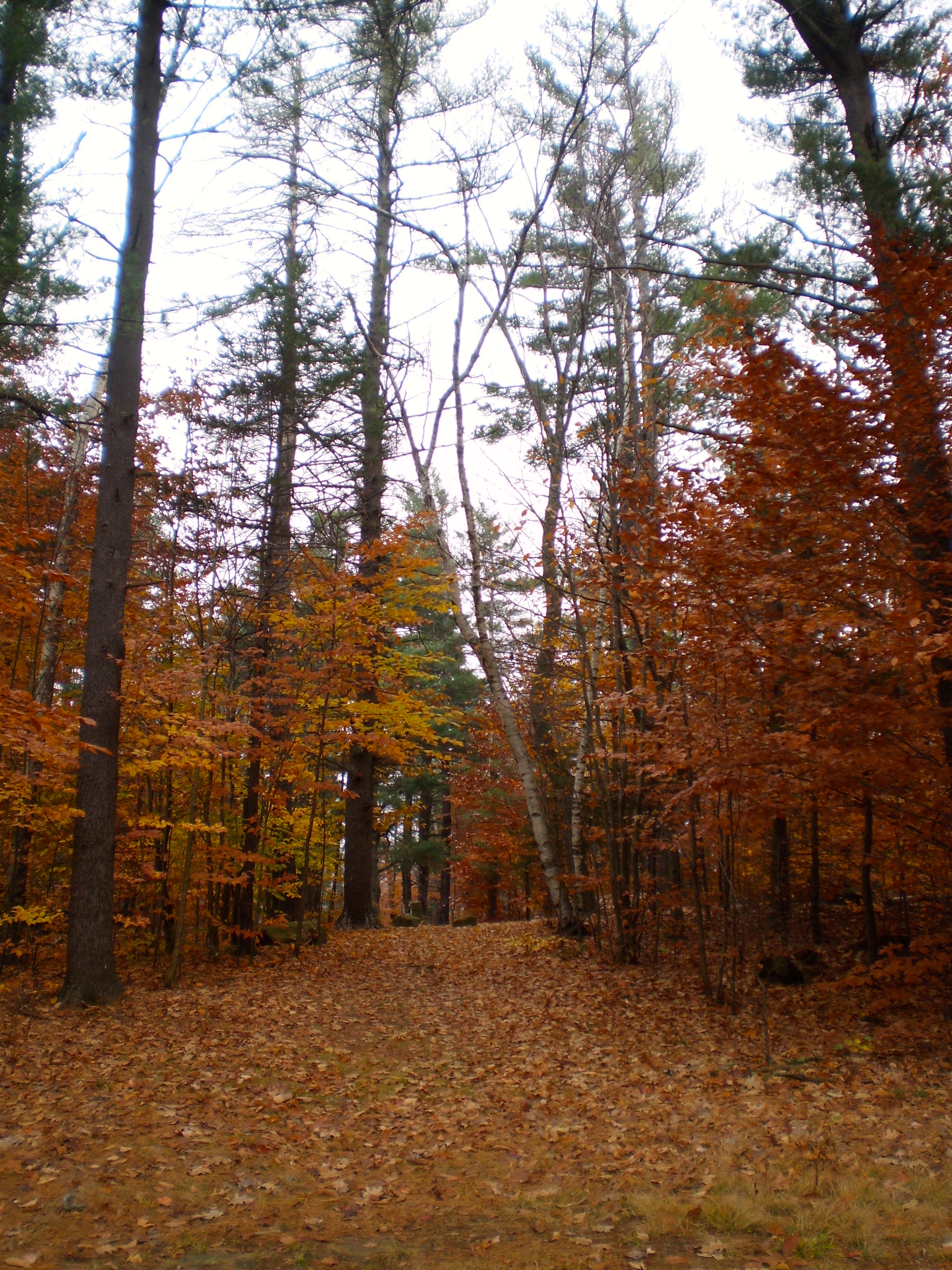
On Saturday, October 27, forty-plus students and two faculty members made the hike up Mount Monadnock in Jaffery, New Hampshire. Math professor and Claflin Hall faculty resident Diane Meuser organizes fall and spring treks up one of the most frequently hiked mountains in the world. Although the heavy fog restricted some beautiful views, the fall trek went otherwise unhindered.
All photos by Yasmin Gentry.
Sunrise on Comm Ave.
Hikers met early Saturday morning to catch the bus to New Hampshire. At least it served for a beautiful sunrise!
Trail Map
While Meuser led many students up the mountain, everyone was free to take whichever route they pleased to the summit. The more "scenic route" Meuser led followed Cascade Link, offering the most time along the mountain ridge.
Summit Conditions
The State Park headquarters list daily summit conditions along with tips for a safe and enjoyable hike.
Trail Blazers
From left to right: Mehmet Akbulut (ENG '16), Daniel Gorelick (ENG '16), Sesil Dikener (SMG '16) and B. Kim (CAS '16) examine the trail map before beginning their ascent.
Special Footwear
Daniel Gorelick (ENG '16) changed into his Vibram FiveFingers before beginning his hike. "It's like walking barefoot," Gorelick said.
On Our Way
All students started off at State Park headquarters, though some veered off towards the White Cross or White Dot trails instead.
Trees on Mt. Monadnock
Foliage at Mt. Monadnock included spruce, beech, maple, and oak trees.
Foliage on Mt. Monadnock
Most trees were fully turned at the State Park.
More Foliage on Mt. Monadnock
Students were treated to a spectacular display of fall colors.
Obstructed View
The further students hiked up Monadnock, the foggier it became.
Is This the Summit?
Amidst the fog, students stand atop a boulder on the trail.
Trail Markers
State Park officials collected piles of rock to indicate Pumpelly Trail to hikers.
Crossing the Ridge
Apparently, one must descend before fully ascending the mountain.
Is THIS the Summit?
B. Kim (CAS '16) and other students view the scene before them. Because of the fog, students were unable to view the summit or calculate their distance to it.
Uphill Battle
Meuser (in red) led an uphill battle.
Really, Now. Where is the Summit?
Students carry on up the ridge. The scene changed from fall foliage into rock and firs about 2,000 feet up the mountain.
Watch Your Step!
Hikers had to be careful of steep and slippery rock. Otherwise, it's a long ways down.
It's the Climb
Students found themselves clambering up rocks many times during the hike.
Summit of Mt. Monadnock
Finally, the summit! Several hikers who made the 3,165 foot trip up Mt. Monadnock relaxed and ate lunch.
Someone Brought a Compass!
Because of the fog, it was difficult to determine which way to begin the descent. David Miller (ENG '16) pulled out his compass to save the day.
Careful Descent
From closest to furthest away: Following the White Dot trail down the mountain, Sesil Dikener (SMG '16), B. Kim (CAS '16) and Mehmet Akbulut (ENG '16) carefully descend. To maintain their safety, they watched their footing and took their time.
Back to the beginning
The fall foliage signaled the end of the hike. Students, exhausted by a long day, slept or relaxed on the two hour bus ride back to BU.
Feeling inspired? There’s another hike organized for the spring. In the meantime, get your facts straight about what to expect from Mt. Monadnock by clicking here.

Leave a Reply
No Responses